

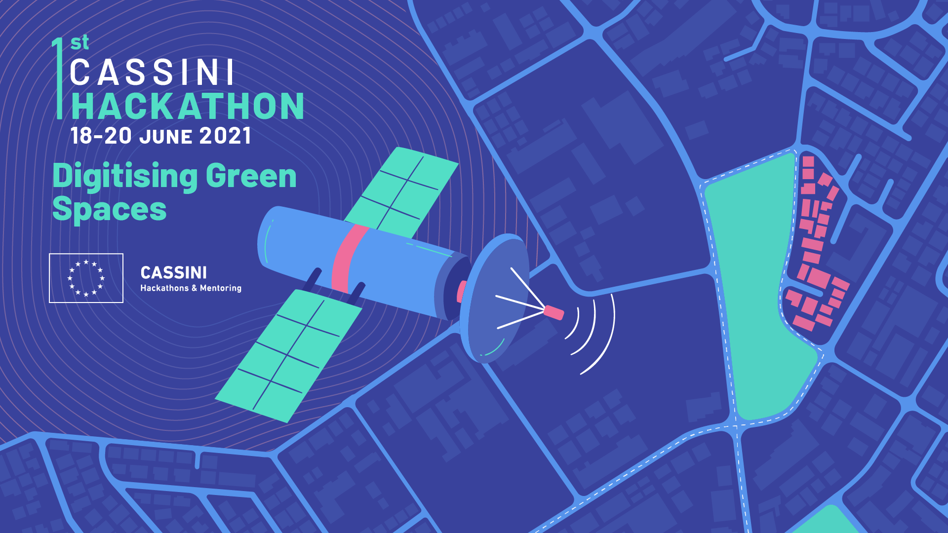
The 1st CASSINI Hackathon was organized on June 18-20 at 10 European countries. For Cyprus, the competition was held by CyRIC, in collaboration with Gravity Ventures Incubator and ERATOSTHENES Centre of Excellence. 45 hackers with 9 different teams participated at the hackathon.
The hackers created innovative solutions related to the digitization of green spaces in urban and rural areas in Cyprus, by using EU Space date. The jury awarded 5 groups, which shared a € 10,000 sponsorship from CyRIC, Gravity Ventures Incubator and Cablenet.
We had a discussion with team Dream Green who won the 3rd prize at the Cassini Hackathon. The team members are Mihir Rambhia, Mahir Bhatt and Jainy Shah.
Mihir on behalf of the team describes their idea:
– Your team won the 3rd prize at the Cassini Hackathon! How do you feel about that? Please give us a brief description of your idea.
All the participating teams were amazing and the competition was tough. So, it’s a wonderful feeling to have won the 3rd Prize at Cassini Hackathon, Cyprus. Our idea was to identify the high-quality urban green spaces in a city using satellite imagery and open-datasets.
This information can be useful for citizens who want to access a particular park, for developers to account its impact on the property valuation, and for city administrators to better plan and manage urban green spaces.
– How would you describe your overall experience through the Cassini Hackathon organized in Cyprus?
The entire experience of the hackathon was wonderful. Before hackathon there were many expert lectures to understand more about the available satellite datasets and tools to access them.
During the hackathon it was quite stressful to complete everything on time. However, with the help of mentors and organizers we could manage to successfully achieve what we wanted.
– How challenging and important do you consider the digitizing green spaces theme of CASSINI Hackathons?

I feel digitising green spaces theme was a well-thought idea. As of today more than 60% of the population in Europe, lives in cities. All of these people depend on urban green spaces for recreation and physical fitness.
The significance was evidently seen during the recent COVID-19 pandemic when researchers observed a rise of up to 350% in the usage of public parks. Green spaces not only helped people in coping with the strict lockdown measures but also provided a natural buffer to maintain adequate social distance.
– What was the motivation of your team to join the Digitizing Green Spaces initiative at the CASSINI Hackathon?
Our biggest motivation to join the Digitizing Green Spaces hackathon was to learn more about the available tools and technologies from the experts and see the interesting ideas presented by other competing teams.
– How did you use EU Space data and why is it important for your company?
In our idea, we used the data from the Sentinel-2 satellite to compute the NDVI indicator for the entire city. This indicator can tell us which are the areas in the cities with high density of trees. Additionally, we plan to use time series of this dataset to estimate the health and maturity of any green space.
– How important do you consider the STEM sciences and the utilization of EU Space data for the future generations?
We strongly believe in the utilization of STEM sciences and space data for benefit of people. With advancement of technology and availability of new datasets, it is now possible to monitor a large number of natural processes on near-real time basis. This can significantly help in improving our management and response systems.